")
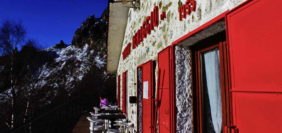
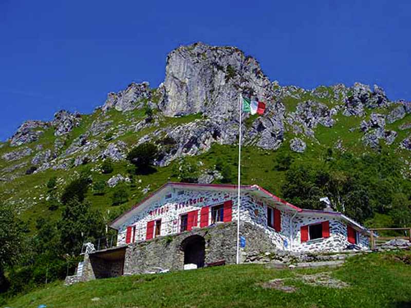
RIFUGIO MENAGGIO
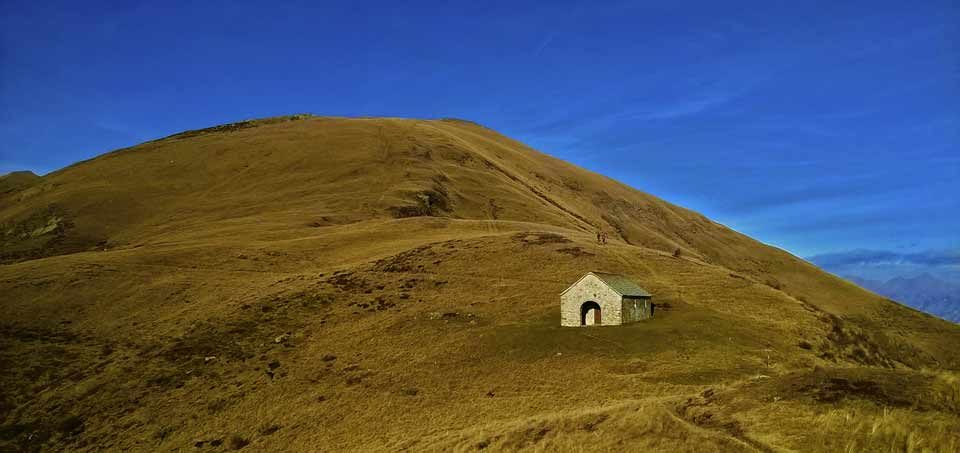
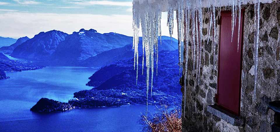
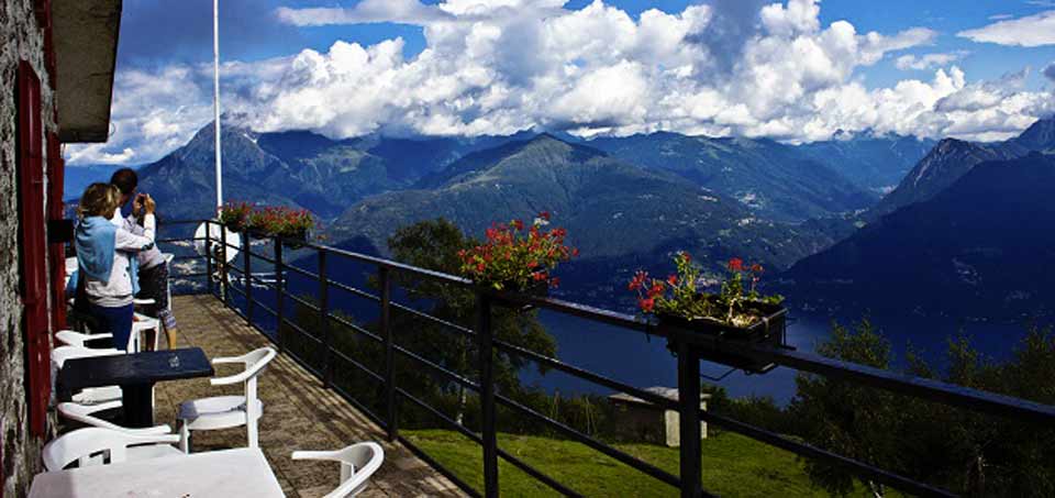
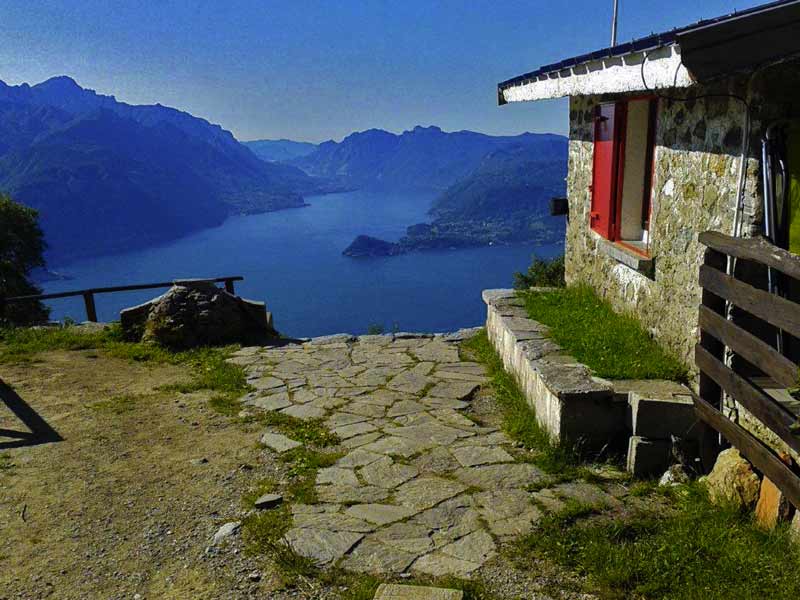
Rifugio Menaggio (1400 m) is situated on the southern slope of Monte Grona where one can enjoy a spectacular view of Lake Como and the surrounding mountains.
From the rifugio you can extend your hike to Monte Grona (1736 m) and to Monte Bregagno (2107 m).
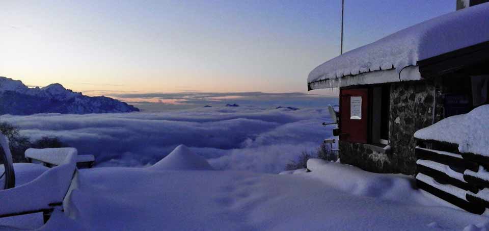
The rifugio provides refreshments and lodging and is open daily during the summer - the rest of the year on Saturdays,Sundays, and holidays.
For information and reservations:
Tel. +39 0344 37282 or +39 388 3494812
Email: info@rifugiomenaggio.eu
Website: www.rifugiomenaggio.eu
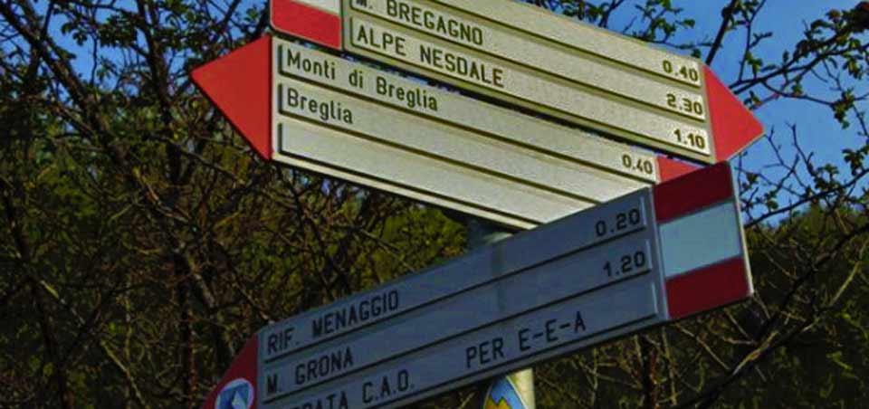
ITINERARY: Breglia - Rifugio Menaggio
WALKING TIME ONEWAY: 1hr 45min
ASCENT: 650 m
DIFFICULTY: Hike with a steep ascent
TRAIL SIGNS: Red-white-red
CONNECTIONS: Breglia can be reached by car (16 km from Dolcelago ) or by bus with the line C13 from Menaggio
ROUTE: From the bus stop at Breglia (749 m) cross the road and ascend the small road leading up to Monti di Breglia (sign indicating Rifugio Menaggio).
At the second bend, just beyond a fountain, you find the first shortcut to the right (sign Monti di Breglia/Rifugio Menaggio).
The steep trail ends up on the road again, which you cross to pick up the next shortcut. After 20 m, at the high tension mast, turn right.
The steep trail leads on to the road once more, which you follow for about 300 m. Then you find the next shortcut to the left which leads across a field. Cross the road another time and follow the trail through the woods which leads on to the road at Monti di Breglia (1000 m).
After another 100 m you reach a picnic area with fountain and beautiful view (you deserve a rest). Here you leave the road and follow the trail over some rocks up to the left (sign). Once on this trail you continue to follow the signs.You reach a open space used as parking area which you cross and then pick up the trail to the left. At the junction where you find the metal trail sign we recommend the “Sentiero Alto” to the right because of the better view (after heavy snow fall we recommend il “Sentiero Basso”
to the left). It leads among birch trees and brooms up to the junction for S.Amate and Monte Bregagno.
At this junction you keep to the left. The now even trail leads along the slope and you soon reach the rifugio.
WALKS FROM RIFUGIO MENAGGIO
Fifteen minutes from the rifugio there is a viewpoint called “Pizzo a Coppa” from where you have a view not only of Lake Como but of the whole Menaggio valley with Lake Piano and Lake Lugano. Not to miss!!
Take the trail on the left side of the rifugio (facing the building).
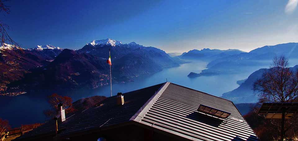
From Rifugio Menaggio you can reach the top of Monte Grona (1736 m) from where one can admire one of the best views of the Pre-Alps; apart from the three lakes (Como, Lugano and Piano) you can also see the close-by peaks of Monte Bregagno, Legnone, Pizzo di Gino, Grigne and, if the day is clear enough, many peaks of theAlps from Monviso to Bernina.
Here are three different ways to get to the top of Monte Grona from Rifugio Menaggio (good walking boots and experience required):
• Via Normale - Time: 1.15 hrs.; ascent: 336 m; the beginning of this trail (the easiest) is just behind the rifugio. It leads up to the “Forcoletta” and from there, to the left, a steep rocky trail leads to the top.
• Via Direttissima - Time: 1 hr; ascent: 336 m; the beginning of this trail starts (facing the building) left of the rifugio. The steep trail winds up the south face of the mountain. During the winter this trail, as it is exposed to the south, remains snow covered less time compared to the Via Normale on the north side of the mountain.
• Via Ferrata - (Only for Alpinists with adequate equipment) Time: 3.00 hrs. In order to reach the beginning of the Via Ferrata you follow part of the Via Panoramica.

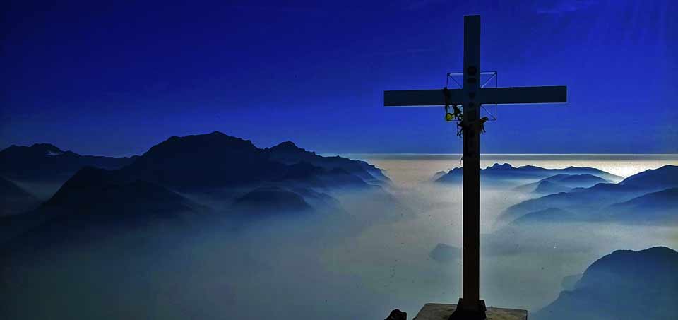
From Rifugio Menaggio you can also hike to the little chapel of Sant’Amate (1.623 m) - time 1hr ascent 240 m, and to the top of Monte Bregagno (2.107) time 2hrs - ascent 707 m (from the rifugio).
ROUTE: Pick up the steep trail behind the Rifugio with the indication “Forcoletta” and “Grona Via Normale.” At the bifurcation Forcoletta-Grona/S. Amate take left for Forcoletta.
The rocky trail ascends steeply to the saddle called Forcoletta. From here you follow the easy trail over the grassy mountain ridge to the right and enjoy the spectacular view of the lake as well as the woods and pastures of the Val Senagra. From the little chapel of S.
Amate you can continue on the now steep grassy ridge to the top of Monte Bregagno characterized by a huge cross. The view on the Val Albano and the northern end of the lake is extraordinary. Back at S. Amate you follow the sign for Breglia. The trail runs along the
grassy slope of the mountain to a little saddle. From here the trail descends and meets the path you followed up to the rifugio.
Thanks to www.lakecomo.it